Introduction: The Importance of World Maps in Understanding Our Planet
World maps are essential tools that provide a comprehensive view of our planet’s geography, political boundaries, and physical features. Whether you are a student, a traveler, a researcher, or simply someone interested in the world around you, understanding how to read and utilize world maps can enhance your knowledge and navigation skills. This comprehensive guide explores the significance of world maps, the different types available, and tips on how to effectively use them for various purposes.
The Significance of World Maps
World maps offer a bird’s-eye view of the Earth, allowing us to grasp the spatial relationships between continents, countries, and major geographical features. They play a crucial role in education, travel planning, research, and even in everyday decision-making by providing essential information about distances, locations, and regional characteristics.
Educational Value
World maps are fundamental in educational settings, helping students learn about geography, international relations, and environmental studies. They serve as visual aids that simplify complex information, making it easier to understand the distribution of populations, natural resources, and cultural diversity across the globe.
Travel and Navigation
For travelers, world maps are indispensable for planning routes, identifying destinations, and understanding the logistics of international travel. They provide essential information that helps in selecting the best routes, estimating travel times, and avoiding potential obstacles.
Research and Analysis
Researchers and analysts use world maps to study global trends, such as climate change, economic development, and population growth. Maps offer a clear and concise way to present data, helping to identify patterns and correlations that might not be apparent through text alone.
Types of World Maps: Choosing the Right One for Your Needs
There are various types of world maps, each designed to highlight different aspects of our planet. Understanding the different types available will help you select the most suitable map for your specific needs.
1. Political World Maps
Political world maps focus on the boundaries and territories of countries and major cities. They clearly delineate national borders, making them ideal for understanding political geography and international relations.
Features of Political World Maps
- **Country Boundaries**: Clearly marked borders between nations.
- **Major Cities**: Prominent cities are often highlighted for easy identification.
- **National Capitals**: Capitals are typically marked to emphasize political centers.
- **Color-Coding**: Different colors may be used to distinguish between countries for visual clarity.
2. Physical World Maps
Physical world maps emphasize the natural features of the Earth, such as mountains, rivers, and lakes. They provide a clear depiction of the planet’s topography and are essential for understanding the physical landscape.
Benefits of Physical World Maps
- **Topographical Details**: Detailed information on elevation changes, mountain ranges, and valleys.
- **Water Bodies**: Oceans, seas, rivers, and lakes are prominently shown.
- **Natural Landmarks**: Significant natural landmarks like the Amazon Rainforest and the Sahara Desert are highlighted.
3. Thematic World Maps
Thematic world maps are designed to focus on specific themes or subjects, such as climate, population density, or economic indicators. These maps are useful for specialized studies and presentations.
Examples of Thematic World Maps
- **Climate Maps**: Show different climate zones and weather patterns across the globe.
- **Population Density Maps**: Illustrate how populations are distributed in various regions.
- **Economic Maps**: Highlight economic activities, such as agriculture, industry, and services.
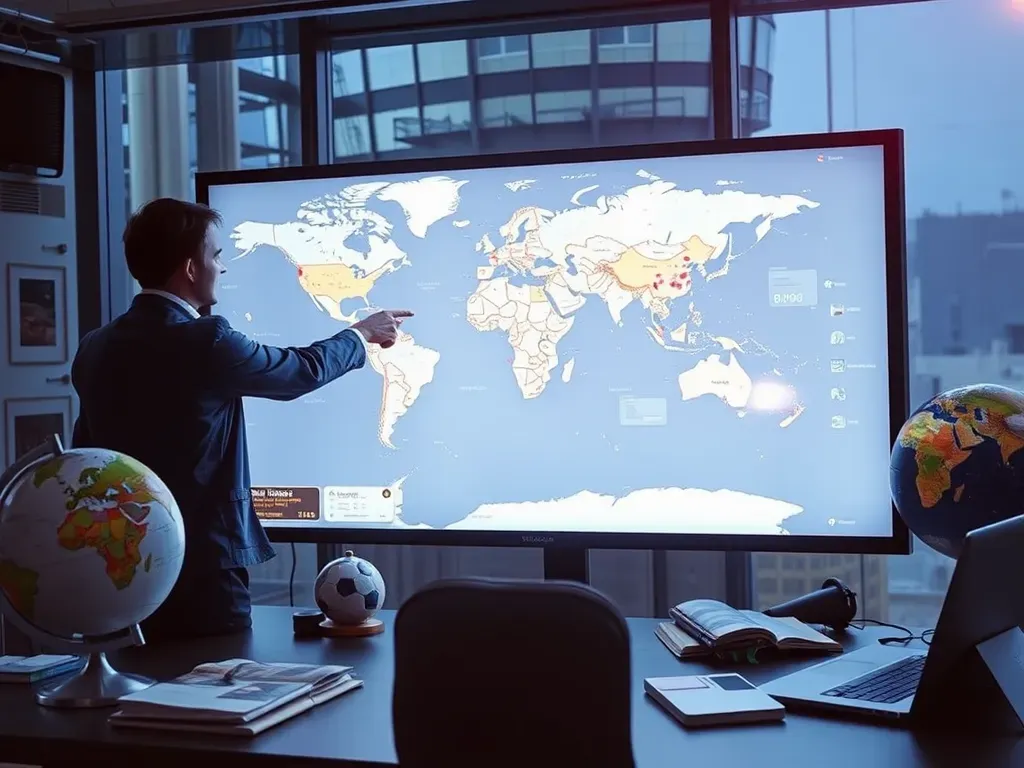
4. Interactive Digital Maps
Interactive digital maps offer dynamic features that allow users to engage with the map in real-time. These maps are accessible through various devices and often include layers, zoom functions, and search capabilities.
Advantages of Interactive Digital Maps
- **Real-Time Data**: Provides up-to-the-minute updates on geographical changes and developments.
- **Customization**: Allows users to add layers or filters to focus on specific types of information.
- **Accessibility**: Easily accessible on smartphones, tablets, and computers, making them convenient for on-the-go use.
- **Interactive Features**: Clickable regions and points of interest provide detailed information instantly.
How to Read and Use World Maps Effectively
Understanding how to read and use world maps is crucial for maximizing their benefits. Here are some tips and strategies to enhance your map-reading skills and make the most out of your world maps.
1. Understand the Legend and Symbols
Every map comes with a legend that explains the symbols and colors used. Familiarize yourself with the legend to accurately interpret the information presented on the map.
Key Components of a Map Legend
- **Symbols**: Represent different features like mountains, rivers, and cities.
- **Colors**: Indicate various attributes such as climate zones or political regions.
- **Scale**: Shows the relationship between distances on the map and real-world distances.
2. Learn to Use the Scale
The scale of a map is crucial for understanding distances and planning routes. It tells you how the distances on the map relate to actual distances on the ground.
Using the Map Scale
- **Estimate Travel Distance**: Use the scale to measure how far apart locations are and how long it will take to travel from one point to another.
- **Plan Efficient Routes**: Knowing the distance between destinations helps you choose the fastest or most scenic route.
3. Familiarize Yourself with Latitude and Longitude
Latitude and longitude are the grid lines that help pinpoint exact locations on a map. Understanding these coordinates is essential for precise navigation and location identification.
How Latitude and Longitude Work
- **Latitude**: Measures how far north or south a location is from the Equator.
- **Longitude**: Measures how far east or west a location is from the Prime Meridian.
- **Coordinates**: A combination of latitude and longitude coordinates provides the exact position of any place on Earth.
Top World Maps to Enhance Your Knowledge
Here are some of the best world maps available today, each offering unique features tailored to different needs and preferences.
1. National Geographic World Map
National Geographic is renowned for its high-quality maps that provide detailed and accurate information. Their world maps offer comprehensive coverage of cities, regions, and countries with a focus on natural landmarks and cultural sites.
Why Choose National Geographic World Maps
- **High Detail**: Detailed street layouts and topographical features.
- **Cultural Insights**: Highlights of historical and cultural attractions.
- **Quality Materials**: Durable maps designed to withstand travel wear and tear.
2. Google Earth
Google Earth is a powerful digital tool that offers interactive, 3D representations of the Earth. It allows users to explore the globe from various perspectives, providing an immersive experience that traditional maps cannot match.
Features of Google Earth
- **3D Terrain**: View mountains, valleys, and buildings in three dimensions for a more realistic understanding of the landscape.
- **Street View**: Virtually explore streets and landmarks as if you were physically present.
- **Layered Information**: Access layers that show different types of information, such as borders, roads, and natural features.
- **Historical Imagery**: Compare how locations have changed over time with historical satellite images.
3. Rand McNally World Atlas
The Rand McNally World Atlas is a trusted resource for travelers and students alike. It offers comprehensive coverage of countries, regions, and key geographical features, along with detailed maps and informative indexes.
Benefits of Rand McNally World Atlas
- **Comprehensive Coverage**: Detailed maps of every country and major region around the world.
- **Informative Content**: Includes indexes, charts, and statistics that provide additional context and information.
- **Durable Design**: High-quality binding and paper make it a reliable resource for frequent use.
4. OpenStreetMap
OpenStreetMap is a collaborative project that provides free, editable maps created by a community of volunteers. It’s an excellent choice for travelers seeking detailed and up-to-date maps, especially in less-covered regions.
Why Use OpenStreetMap?
- **Community-Driven**: Continuously updated by a global community, ensuring accuracy and comprehensiveness.
- **Customization**: Allows users to edit and add information, making it a dynamic and ever-evolving map tool.
- **Open Data**: Free to use and share, supporting a wide range of applications and integrations.
Advanced Tips for Using World Maps
To fully leverage the power of world maps, consider the following advanced tips and best practices:
1. Utilize Interactive Features
Interactive maps offer dynamic features that enhance navigation and exploration. Use zoom functions, search capabilities, and customizable layers to find exactly what you need.
Maximizing Interactive Features
- **Zoom In and Out**: Get detailed views of specific areas or a broader overview of regions.
- **Search for Specific Locations**: Easily locate cities, landmarks, and other points of interest with built-in search tools.
- **Customize Layers**: Add or remove layers to focus on specific types of information, such as climate data or population density.
2. Use Latitude and Longitude Coordinates
Latitude and longitude
Leave a Comment